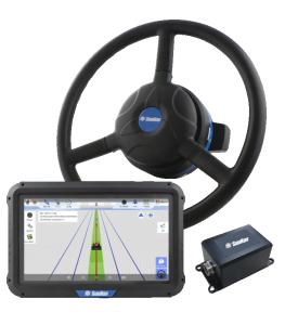
AG150
GNSS Land Leveling System
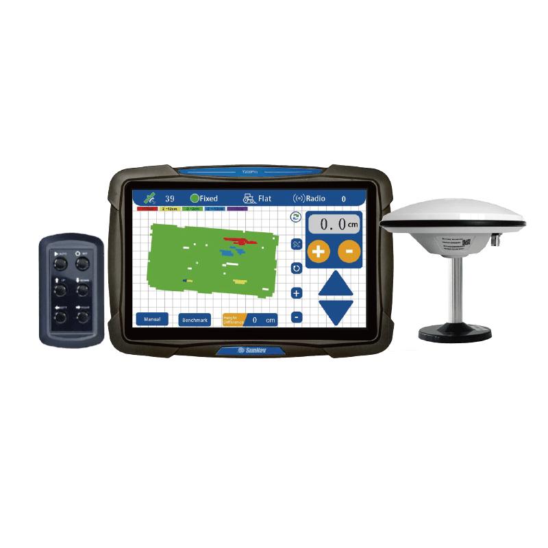
AG150 is a high-precision implement control system for automatic land leveling. It uses differential positioning technology to identify real-time elevation and automatically lifts the blade to level the ground.
The system supports Beidou, GPS, GLONASS and GALILEO, QZSS positioning systems. With one-click set benchmark and survey function, 3D visualization map display, it can realize flat and slope operations. It can be applied to dry land leveling, paddy field leveling, wasteland reclamation and other projects,
which can effectively increase land utilization rate, and at the same time realize water and fertilizer control, improve farmland operation standards, and meet customer needs very well.
Features
6 product advantages
3D visualization map display
10.1 Inch Touch Screen
Support
Radio
Survey
Function
Real-time
Elevation Display
Real-time Height Difference
One-click
Set Benchmark
Real-time
Voltage Display
High Precision (±2cm) Positioning
Adapt to harsh
working
Single /Double slope leveling
Adjustable Control Precision
contact us
System Composition
High Quality
01
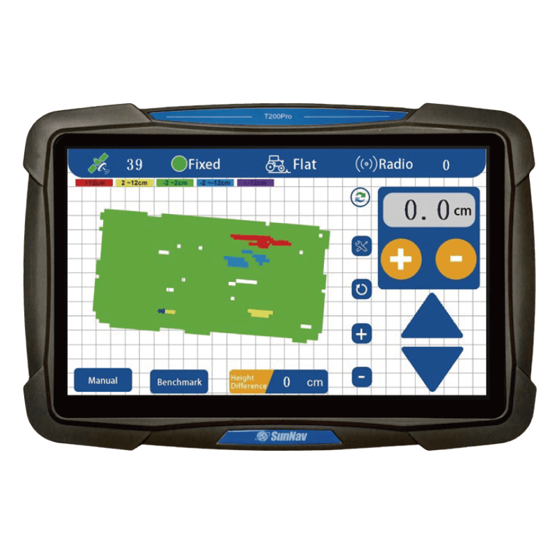
Console
The SunNav GNSS Land Leveling system display is a portable,robust Android tablet. It is provided with a built-in high-precision GNSS board which offers centimeter level accuracy.
02
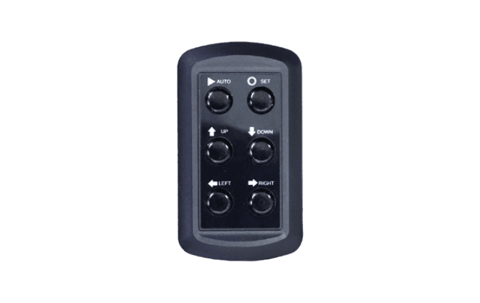
Remote Controller
Remote Controller is a manual controller, waterproof and dustproof is IP65
03
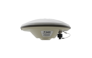
GPS Antenna
GNSS antenna can give high precision and heading.
subscribe to our catalog
behind the scenes
Why Level the Land?
Leveling the land saves water, reduces energy consumption, and efficiently grows


