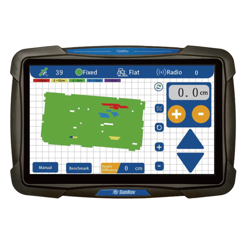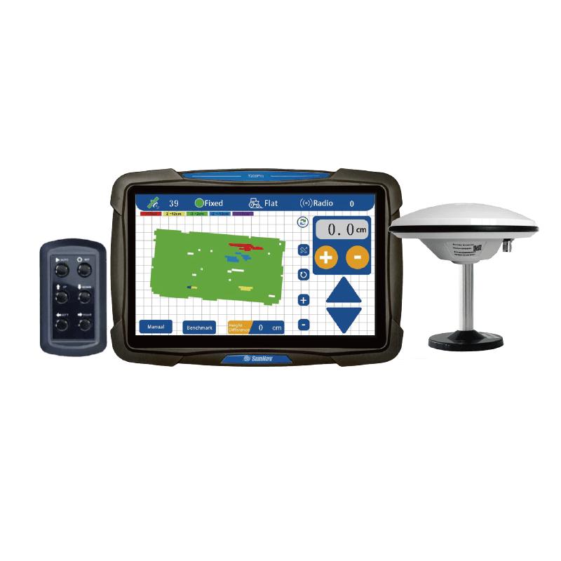

Wyświetlanie mapy wizualizacji 3D

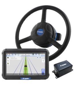
Ekran dotykowy 10,1 cala

Wsparcie
Radio

Ankieta
Funkcja

Czas rzeczywisty
Wyświetlanie wysokości

Różnica wysokości w czasie rzeczywistym

Jedno kliknięcie
Wyznaczony poziom odniesienia

Czas rzeczywisty
Wyświetlacz napięcia

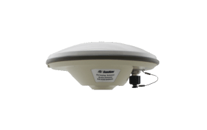
Wysoka precyzja (±2 cm) pozycjonowania

Przystosowanie do trudnych warunków
praca

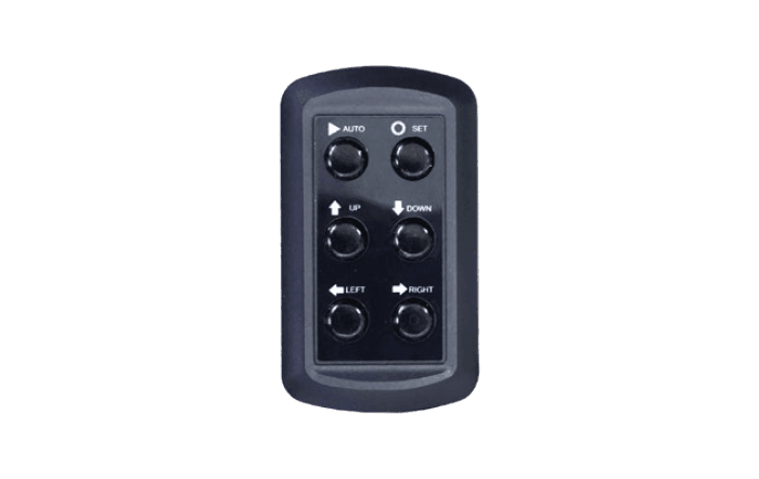
Poziomowanie pojedynczego/podwójnego zbocza

Regulowana precyzja sterowania