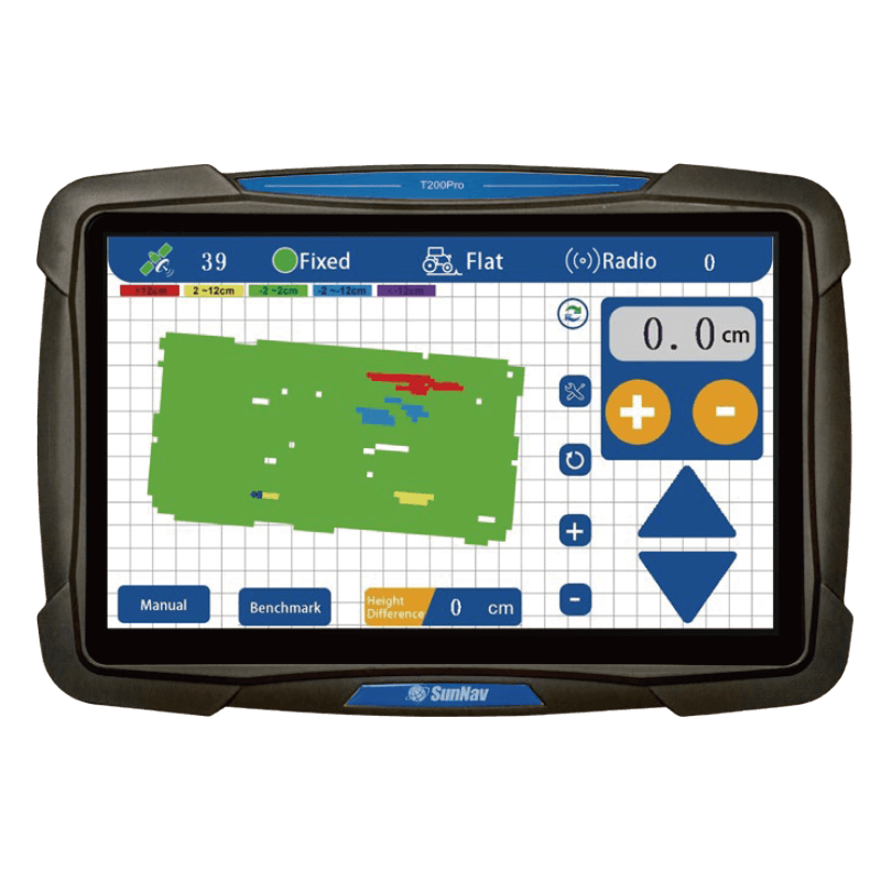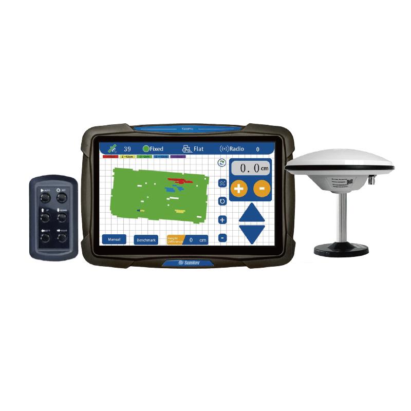

3D-Visualisierung der Kartendarstellung

10,1-Zoll-Touchscreen

Unterstützung
Radio

Umfrage
Funktion

Echtzeit
Elevation Display

Höhenunterschied in Echtzeit

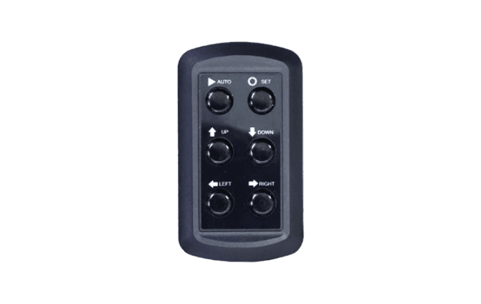
Ein-Klick
Benchmark setzen

Echtzeit
Spannungsanzeige

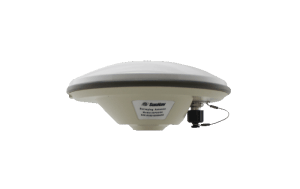
Hochpräzise (±2cm) Positionierung

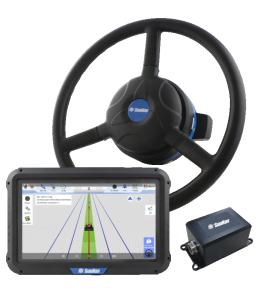
Anpassung an raue
arbeiten

Einfache/doppelte Hangnivellierung

Einstellbare Regelgenauigkeit