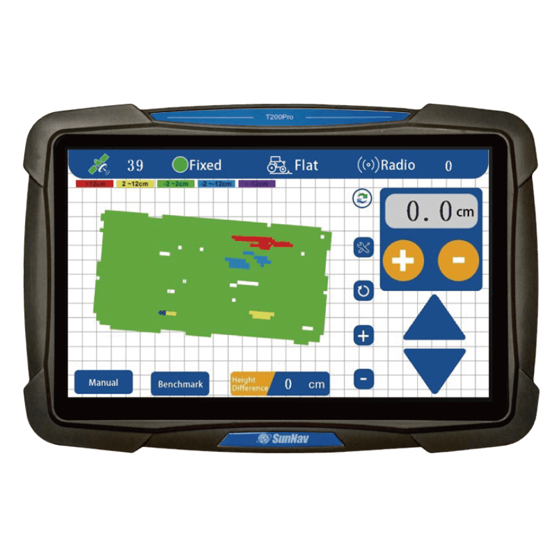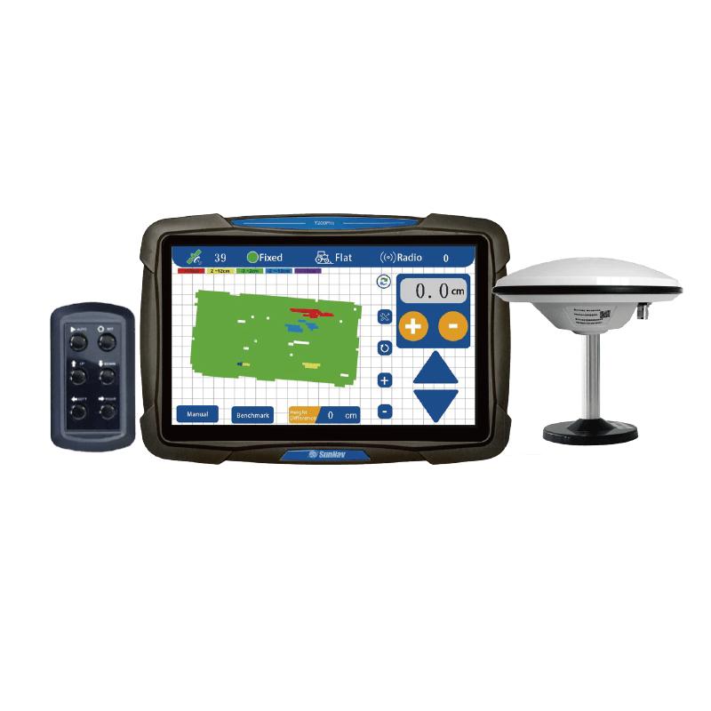

3D visualization map display

10.1 Inch Touch Screen

Поддержка
Radio

Исследование
Функция

Real-time
Отображение рельефа

Real-time Height Difference

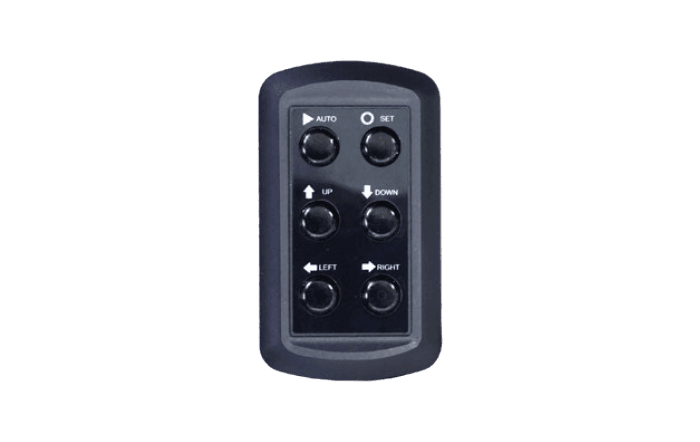
One-click
Set Benchmark

Real-time
Voltage Display

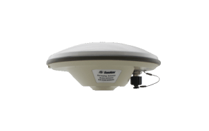
High Precision (±2cm) Positioning

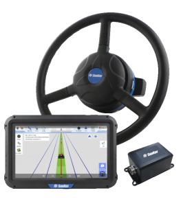
Adapt to harsh
working

Single /Double slope leveling

Adjustable Control Precision