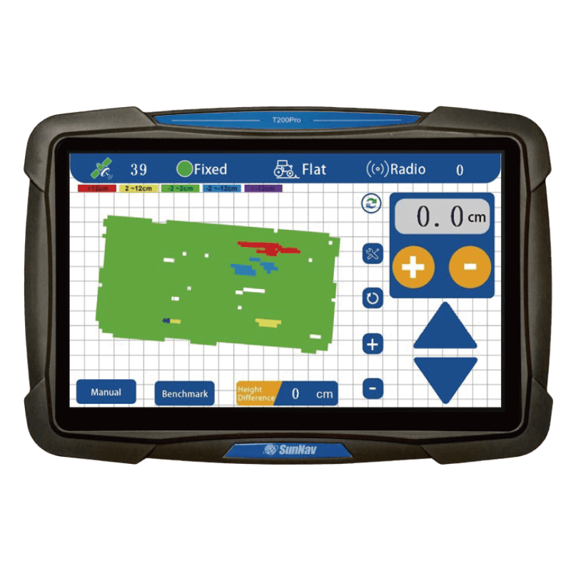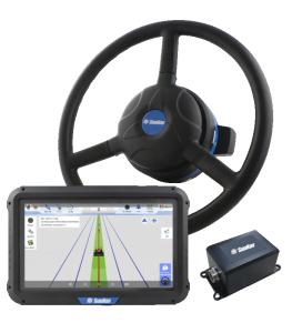

Отображение карты с 3D-визуализацией

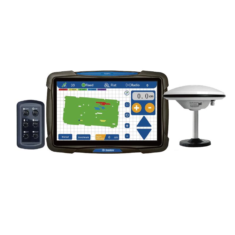
Сенсорный экран с диагональю 10,1 дюйма

Поддержка
Радио

Исследование
Функция

В режиме реального времени
Отображение рельефа

Перепад высот в реальном времени

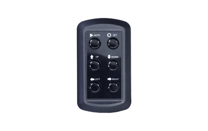
Одним щелчком мыши
Установить контрольную точку

В режиме реального времени
Индикация напряжения

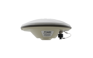
Высокоточное (±2 см) позиционирование

Адаптация к суровым условиям
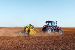
работа

Выравнивание одного/двух склонов

Регулируемая точность управления