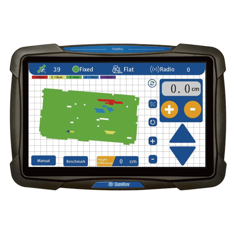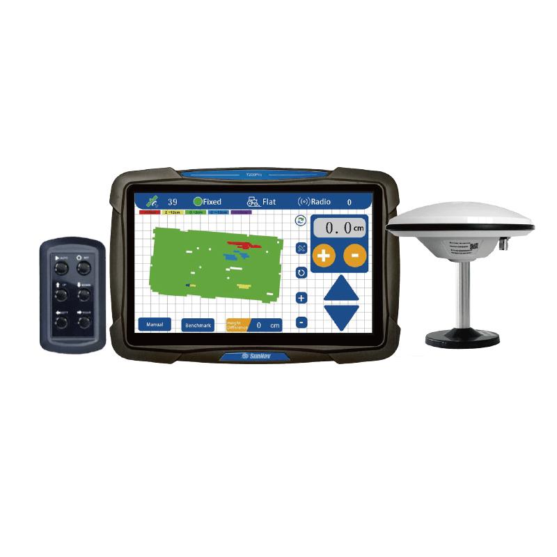

Exibição de mapa de visualização 3D

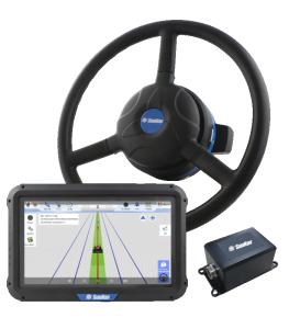
Tela sensível ao toque de 10,1 polegadas

Apoio
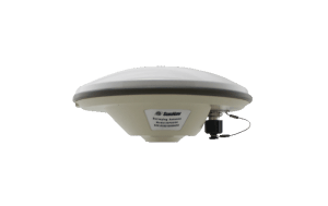
Rádio

Pesquisa
Função

Em tempo real
Exibição de elevação

Diferença de altura em tempo real

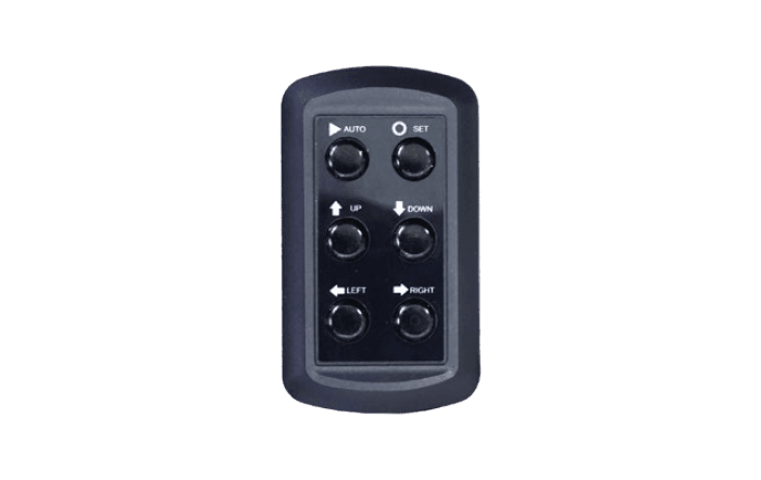
Um clique
Definir referência

Em tempo real
Tela de tensão

Posicionamento de alta precisão (±2 cm)

Adaptar-se a condições adversas
de trabalho

Nivelamento de inclinação simples/dupla

Precisão de controle ajustável