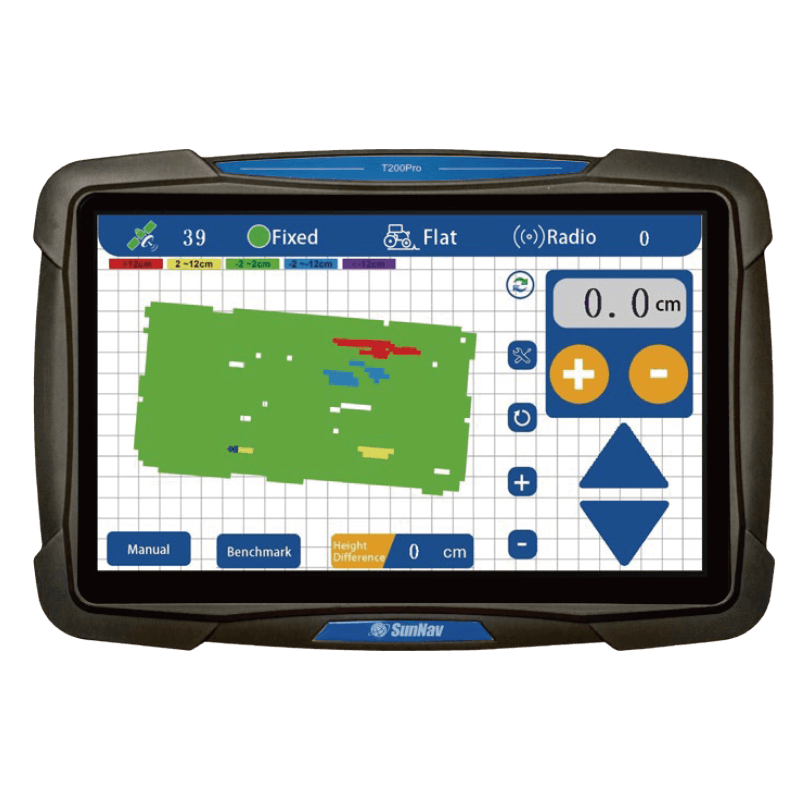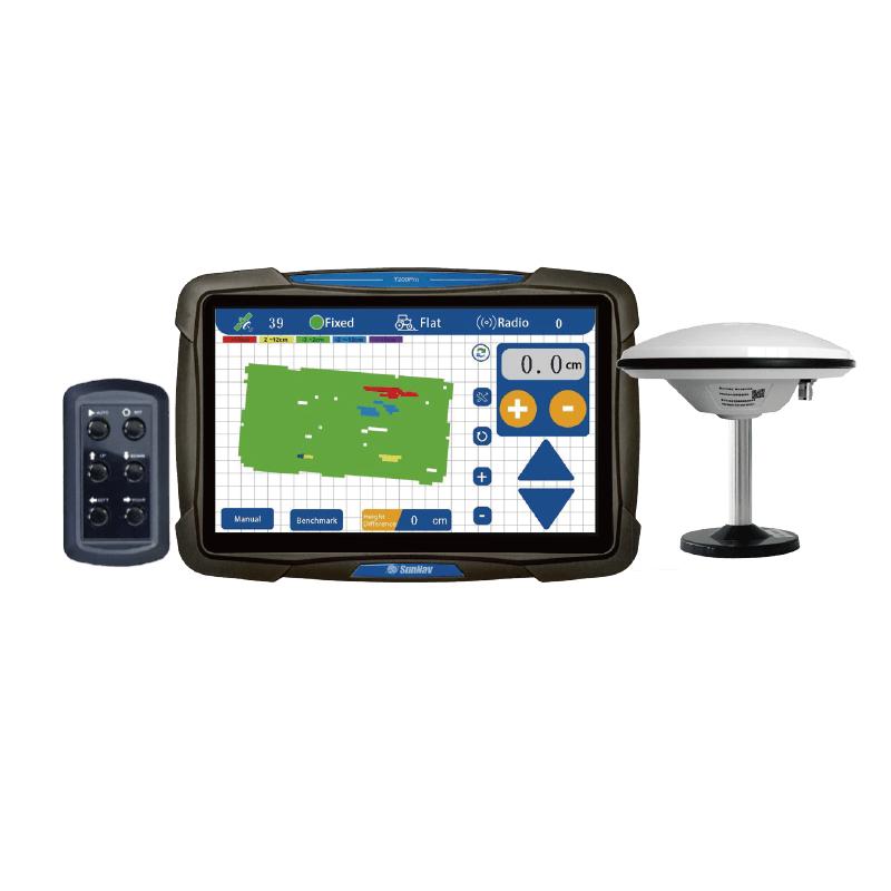

Visualizzazione 3D della mappa

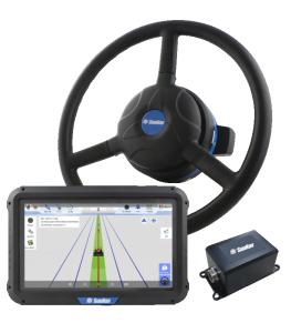
Schermo touch screen da 10,1 pollici

Supporto
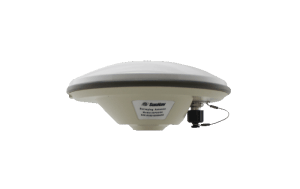
Radio

Sondaggio
Funzione

In tempo reale
Visualizzazione dell'elevazione

Dislivello in tempo reale

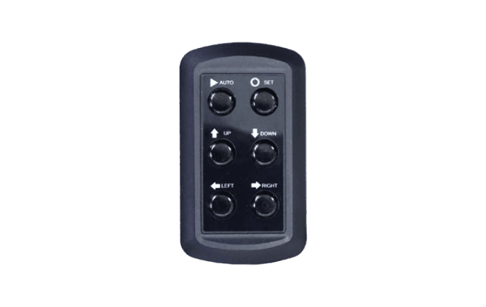
Con un solo clic
Impostare il benchmark

In tempo reale
Display di tensione

Posizionamento ad alta precisione (±2 cm)

Adattarsi alle condizioni difficili
lavorare

Livellamento a singola/doppia pendenza

Precisione di controllo regolabile