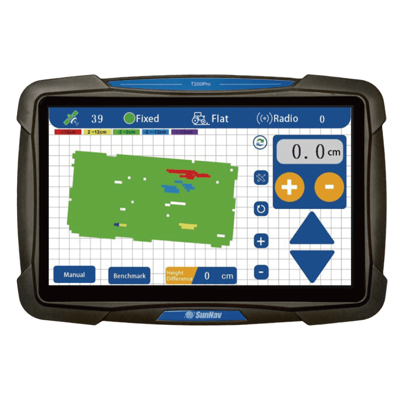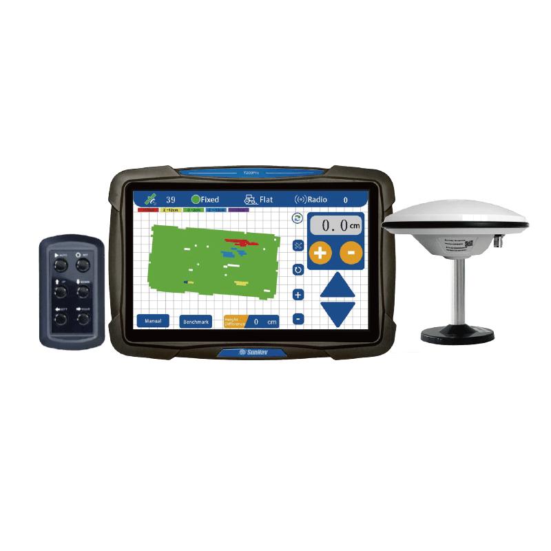

Visualización de mapas en 3D

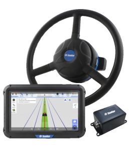
Pantalla táctil de 10,1 pulgadas

Ayuda
Radio

Encuesta
Función

En tiempo real
Visualización de la elevación

Diferencia de altura en tiempo real

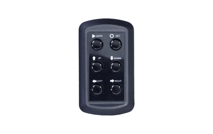
Un clic en
Establecer un punto de referencia

En tiempo real
Pantalla de tensión

Posicionamiento de alta precisión (±2 cm)

Adaptarse a la dureza
trabajando

Nivelación de pendiente simple/doble

Precisión de control ajustable