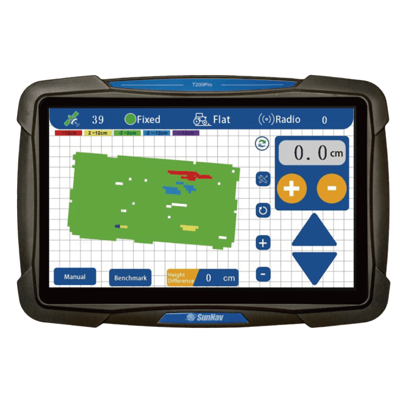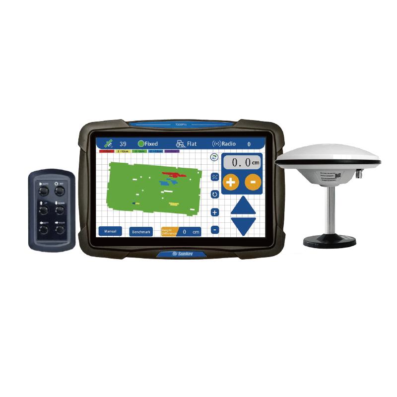

3D απεικόνιση χάρτη απεικόνισης

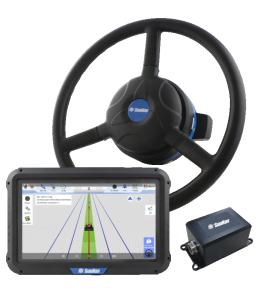
Οθόνη αφής 10,1 ιντσών

Υποστήριξη
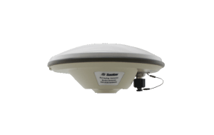
Ραδιόφωνο

Έρευνα
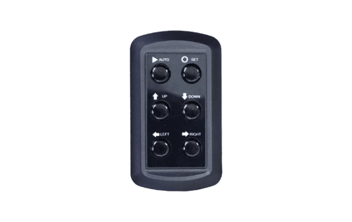
Λειτουργία

Σε πραγματικό χρόνο
Οθόνη ανάγλυφου

Διαφορά ύψους σε πραγματικό χρόνο

Ένα κλικ
Ορισμός σημείου αναφοράς

Σε πραγματικό χρόνο
Οθόνη τάσης

Τοποθέτηση υψηλής ακρίβειας (±2 cm)

Προσαρμογή σε δύσκολες
εργασία

Οριζοντίωση μονής / διπλής κλίσης

Ρυθμιζόμενη ακρίβεια ελέγχου